Mapping Bay Area Wetlands for Climate Resilience
About Our Cause
Turning environmental data into actionable insight
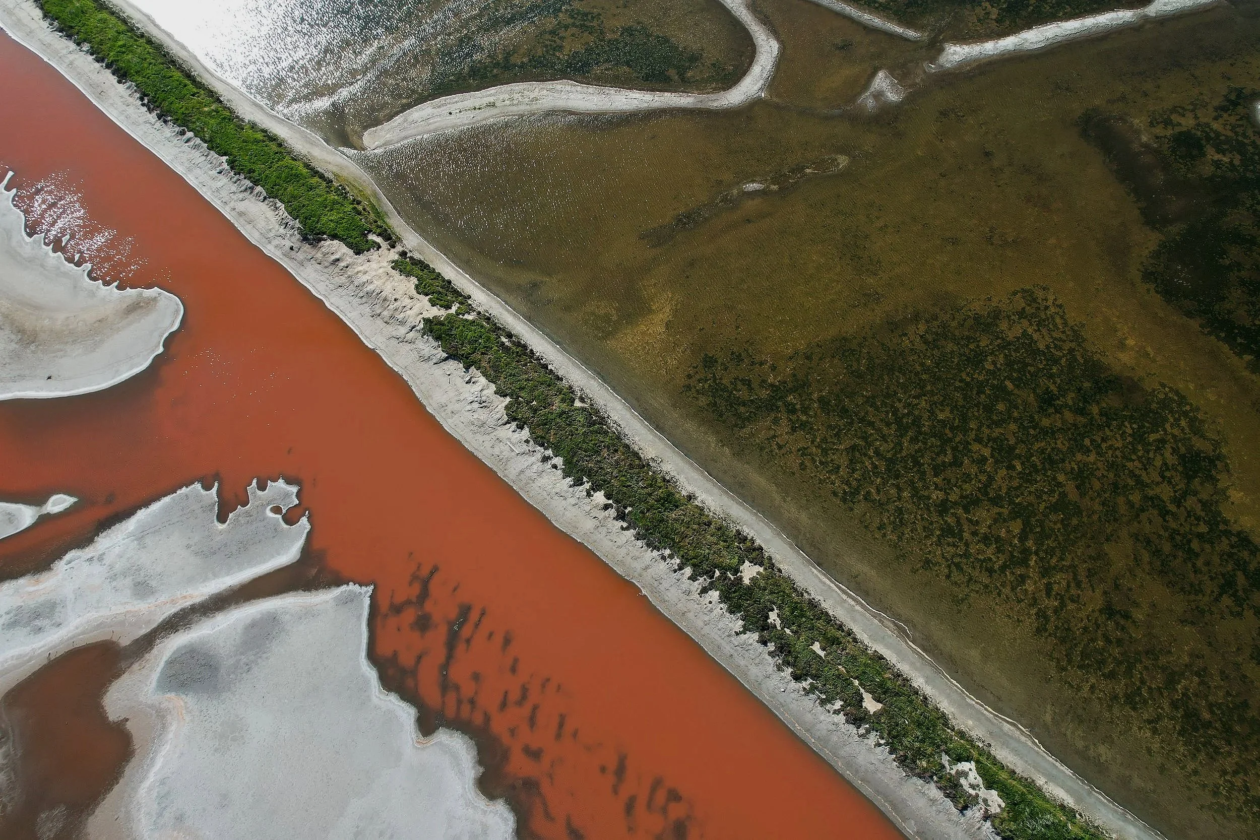
NorCal Conservation grew from a fascination with the Baylands and a practical question: how can accessible technology help us understand the places we want to protect? We turn aerial imagery and field observations into maps and environmental datasets that support wetland research. By sharing our methods, findings, and photographs, we aim to make local conservation more understandable and give researchers and community organizations useful starting points for further work.
OUR INITIATIVES
Wetlands Research & Resilience
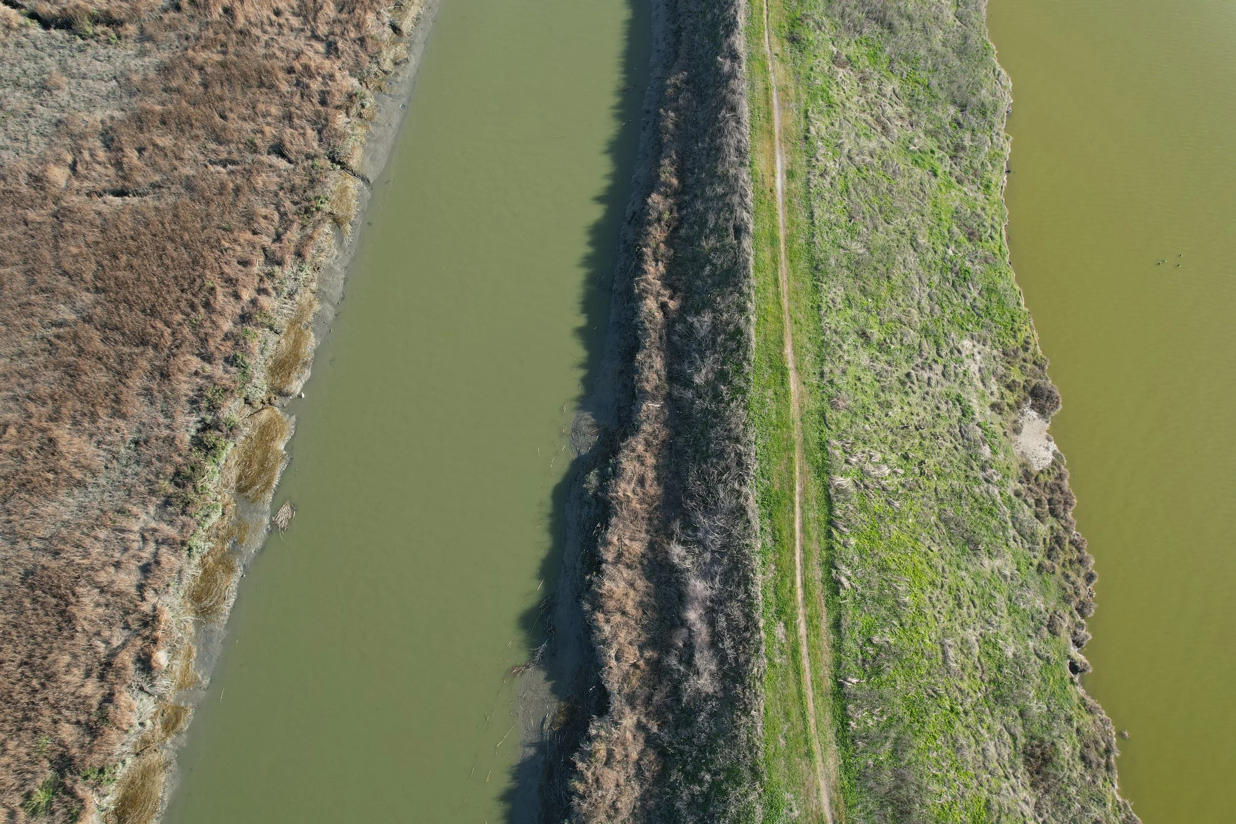
We study ecological change and flood vulnerability across Bay Area wetlands using field observations, aerial imagery, and spatial analysis. Our goal is to create repeatable, low-cost approaches that can support long-term monitoring and restoration planning.
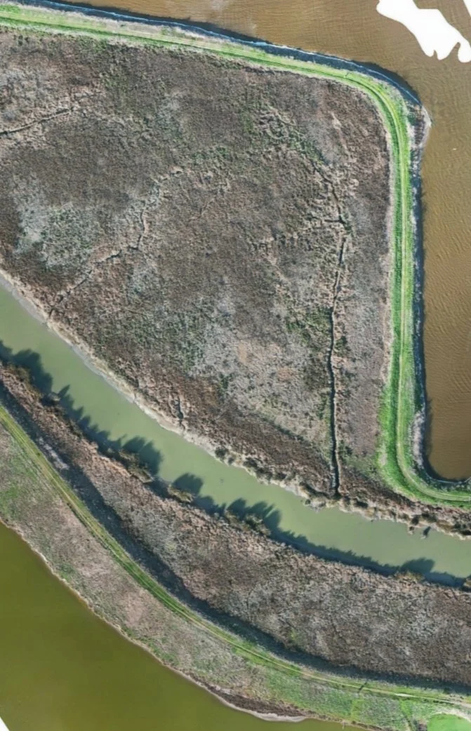
UAS & Orthomosaic Mapping
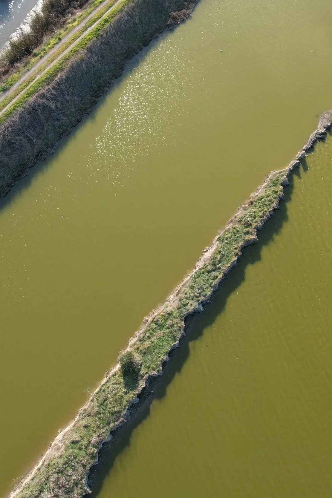
Drone imagery is processed into high-resolution orthomosaics, 3D spatial models, and environmental datasets that help reveal patterns in vegetation, land cover, and coastal change. Our mapping projects provide a detailed view of landscapes that can be difficult to capture through ground surveys alone.
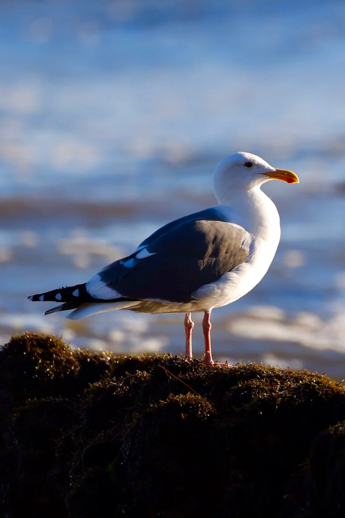
Wildlife Photography
Our wildlife and habitat photography documents the natural places that inspire NorCal Conservation. Explore photographs collected over the years and a closer view of the ecosystems behind our mapping work.
Research & Community Connections