Research & Projects
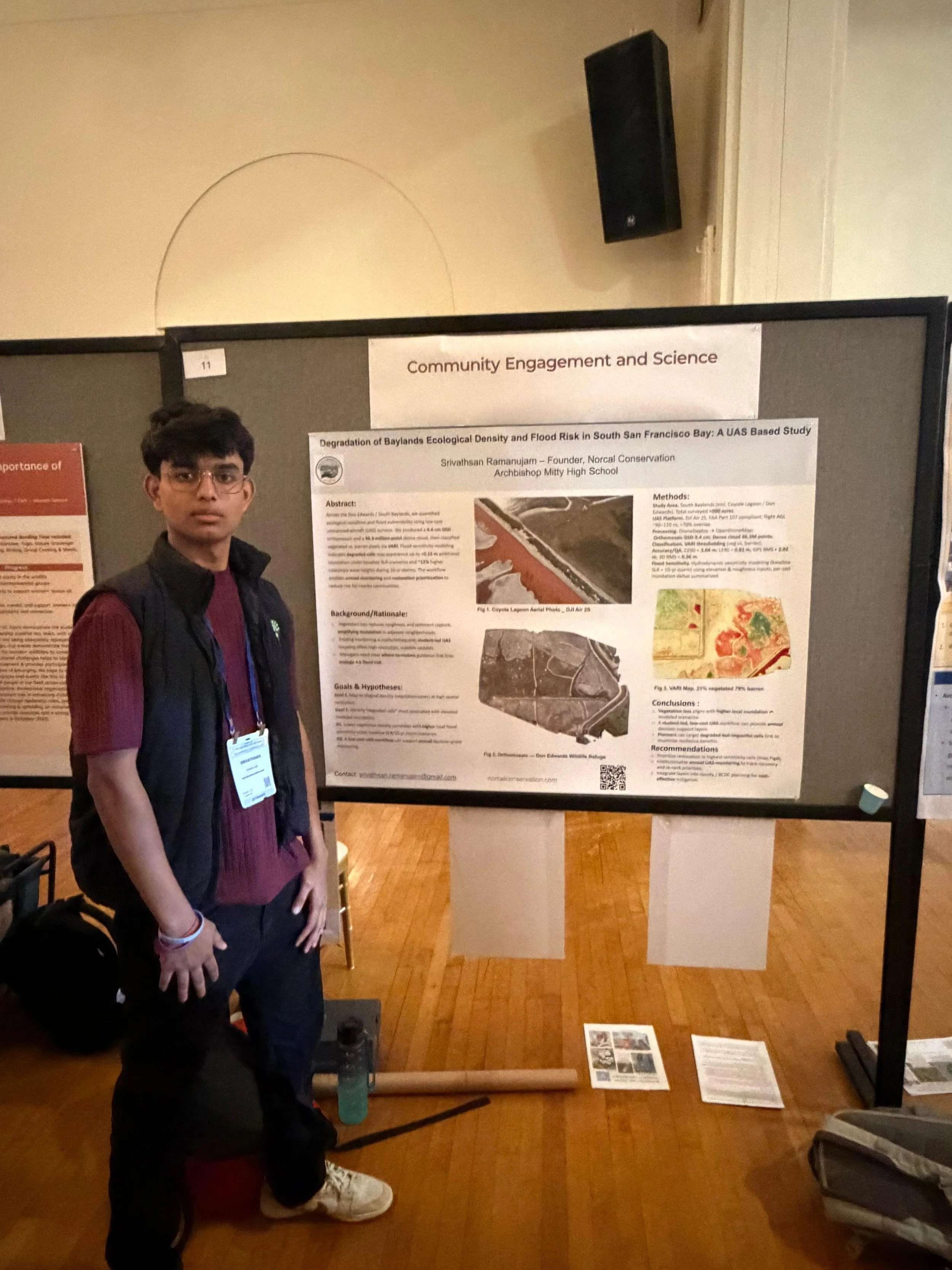
State of the San Francisco Estuary Conference 2025
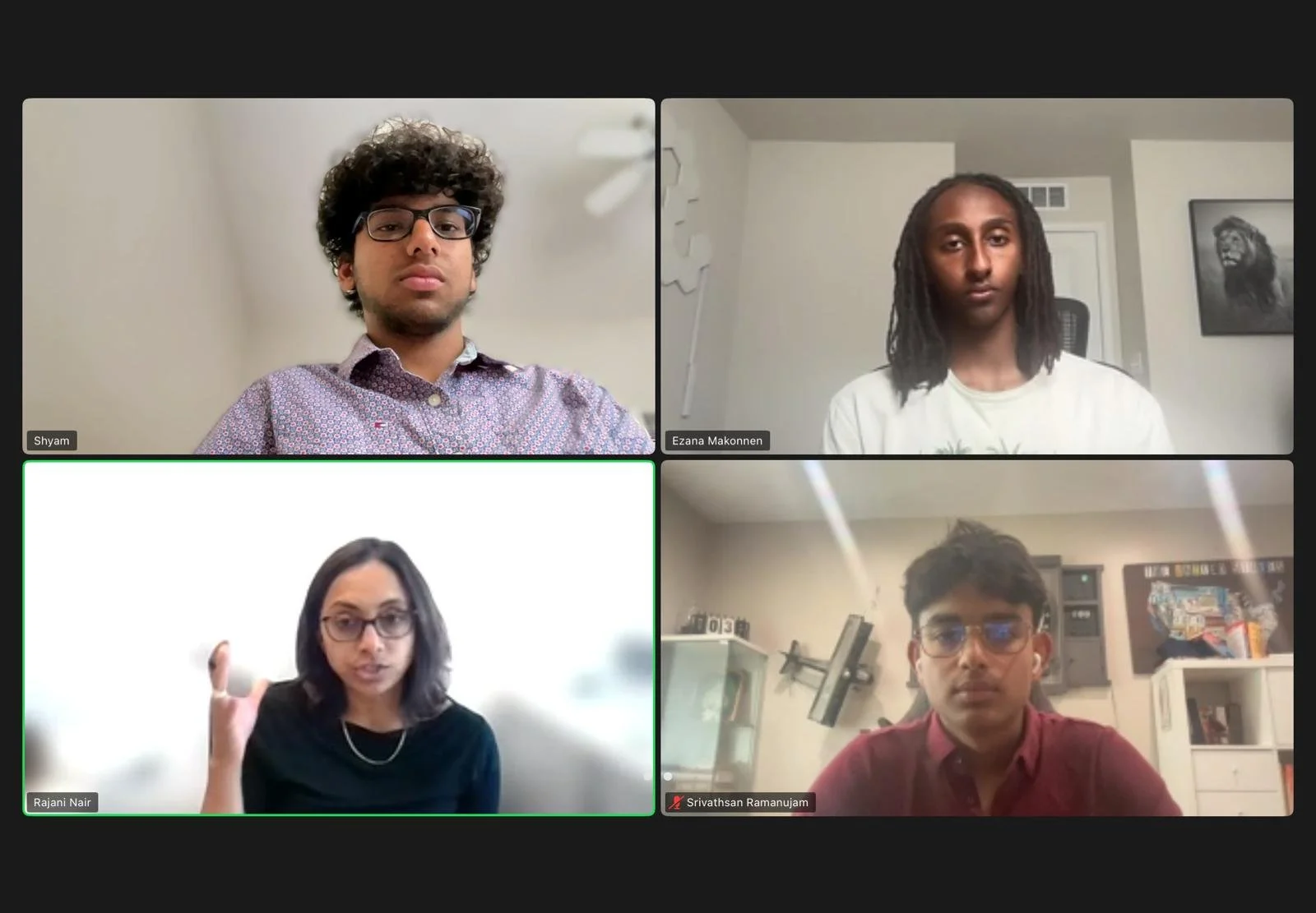
I founded NorCal Conservation to apply drone technology to wetland research in the San Francisco Baylands. I mapped more than 1,000 acres at Sunnyvale Baylands and Don Edwards San Francisco Bay National Wildlife Refuge, producing orthomosaic maps and environmental datasets. I presented this work at the 2025 State of the San Francisco Estuary Conference as its only high school poster presenter, sharing findings with researchers, policymakers, and community advocates.
SJSU MLML Laboratories
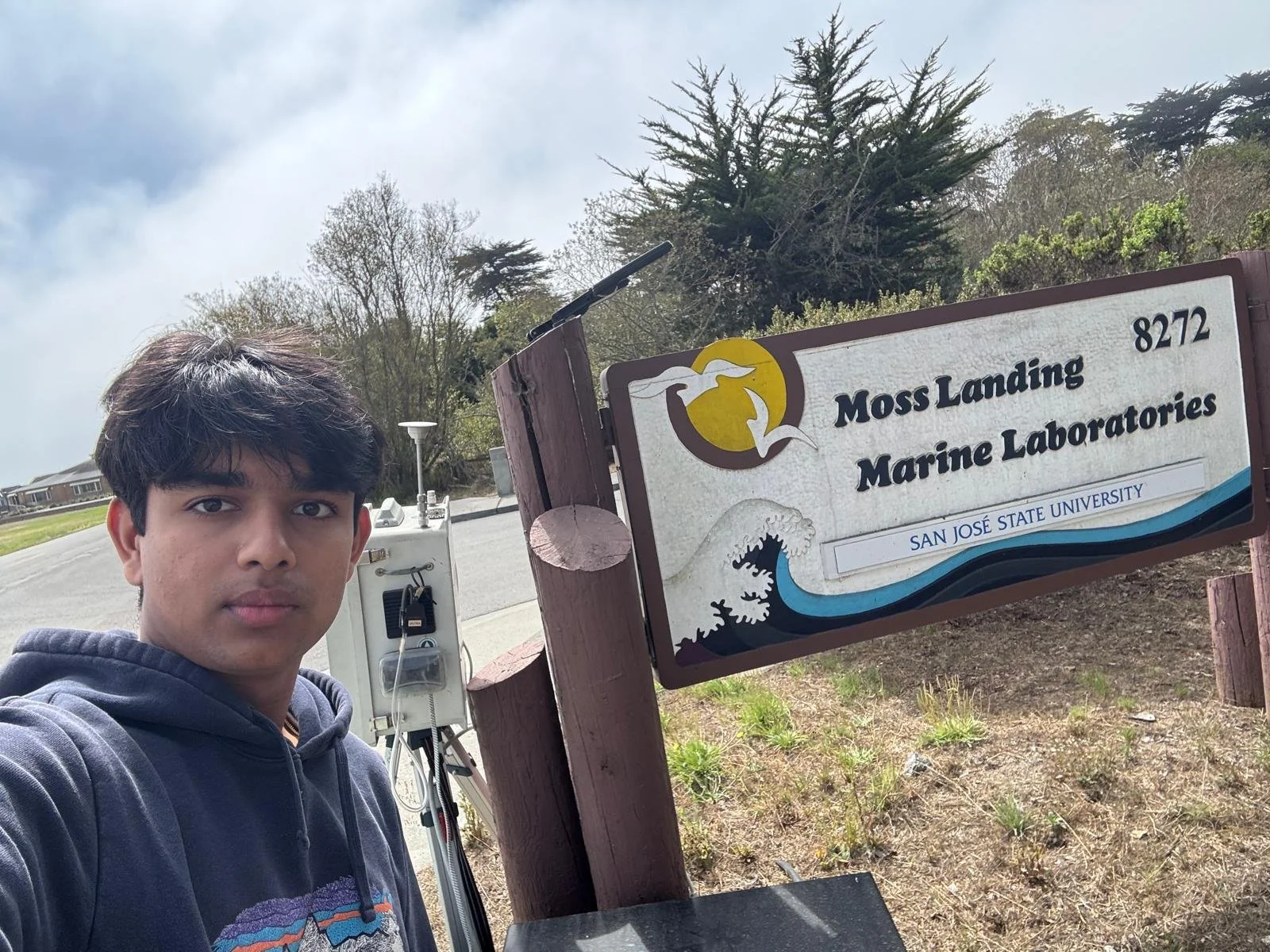
At San José State University’s Moss Landing Marine Laboratories, I contributed drone mapping and geospatial analysis to NOAA-funded coastal resilience research along Monterey Bay. This work connected field observations with spatial analysis to support research on coastal conditions and climate adaptation.
Bay Conservation and Development Commission
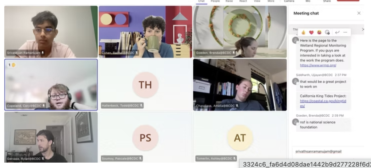
I presented NorCal Conservation’s wetland mapping work to more than 30 professionals at the San Francisco Bay Conservation and Development Commission (BCDC). BCDC has also approved NorCal Conservation for inclusion in its Community Based Organization Directory Map, which supports shoreline adaptation planning and community engagement.
Rooted
I founded Rooted, an initiative led by student athletes, to encourage youth participation in conservation and advocacy for the San Francisco Bay wetlands.
Presentations & Community Engagement
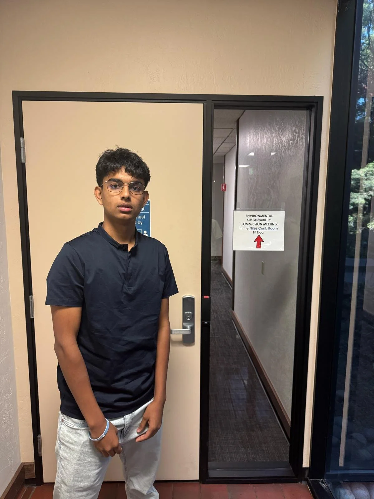
Fremont Sustainability Commission Meeting 6/5
BCDC Meeting 07/28
SJSU Marine Laboratories
State of San Francisco Estuary Conference - 10/28
San Jose watershed Deputy Director Meeting