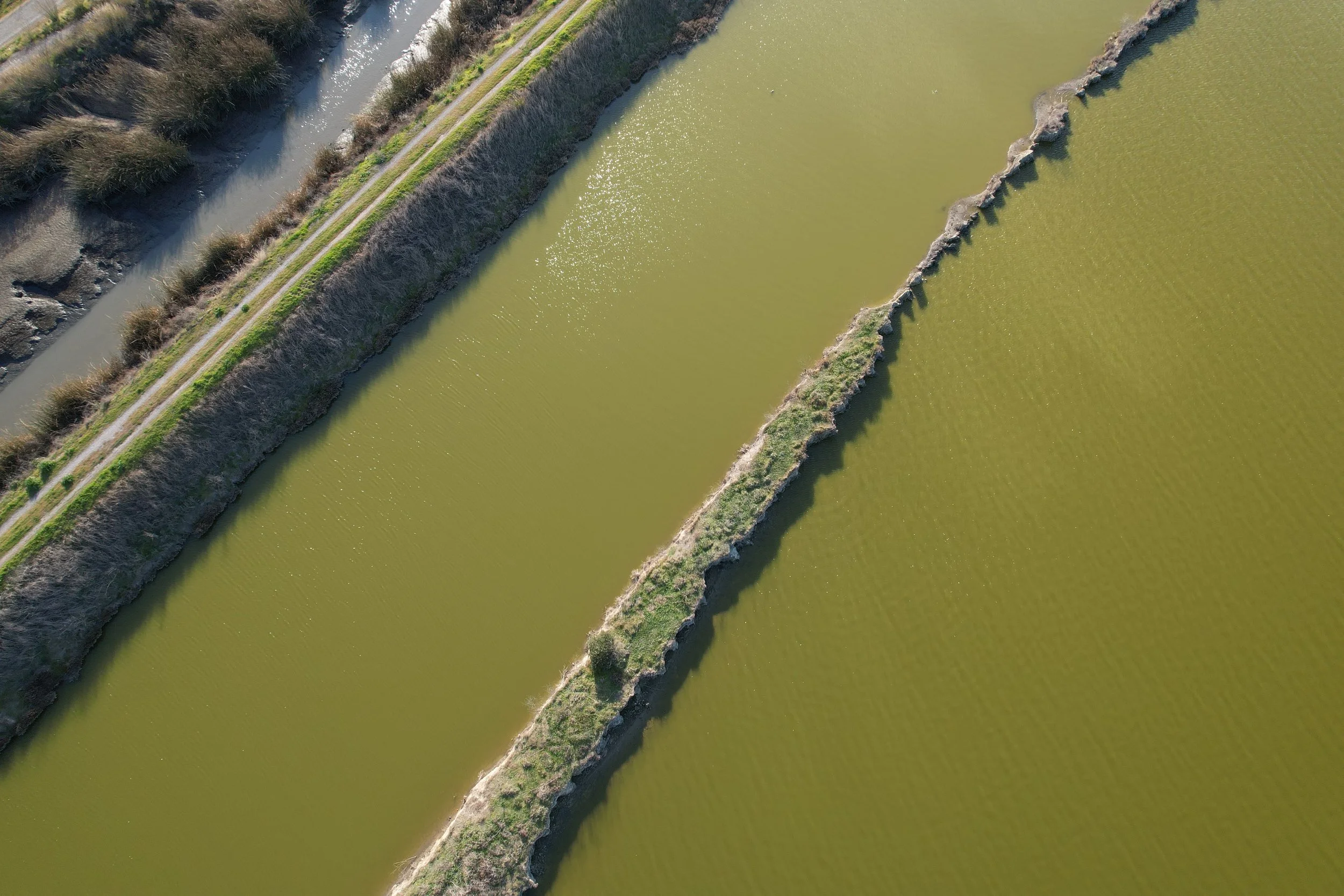
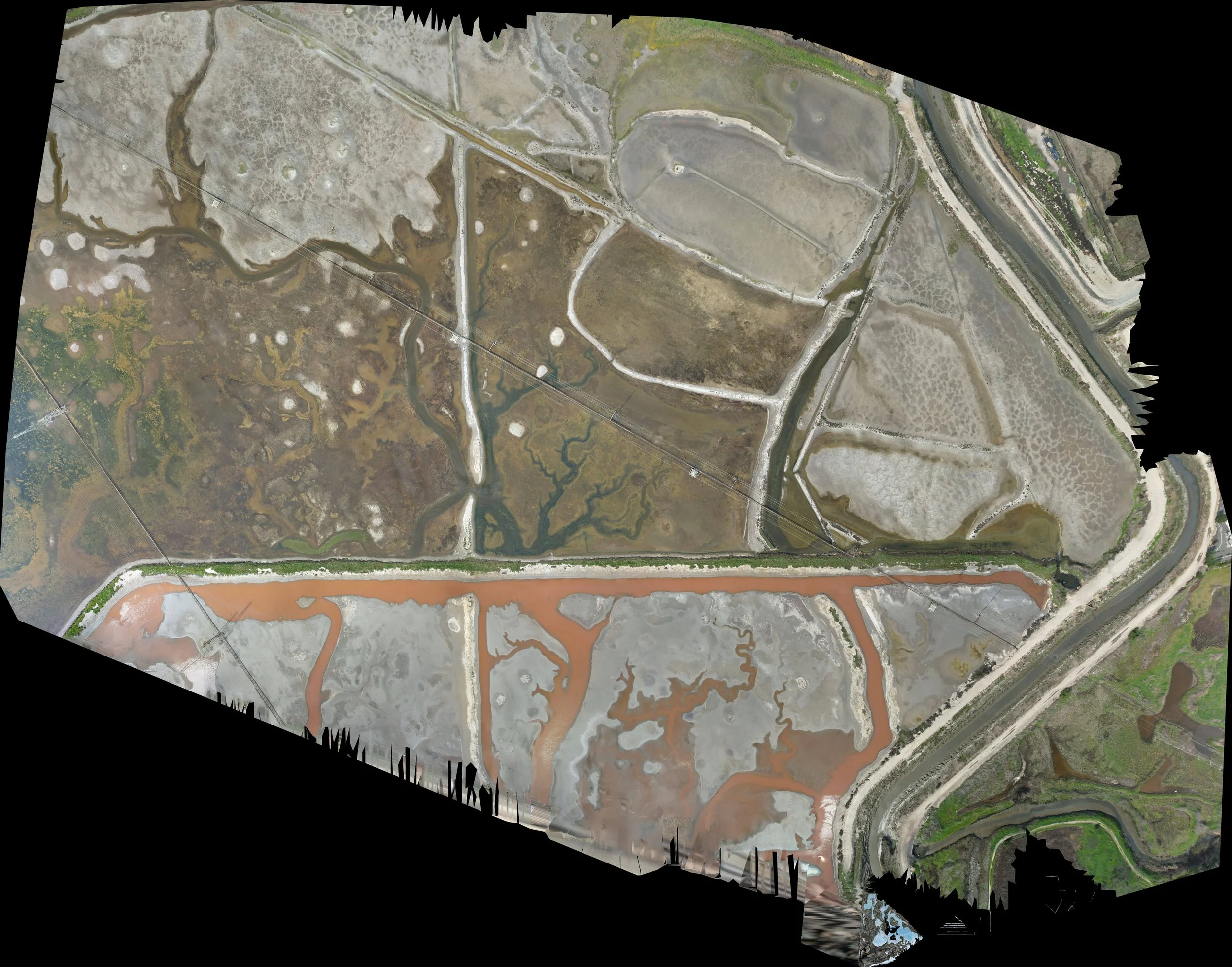
Don Edwards Coyote Lagoon Orthomosaic
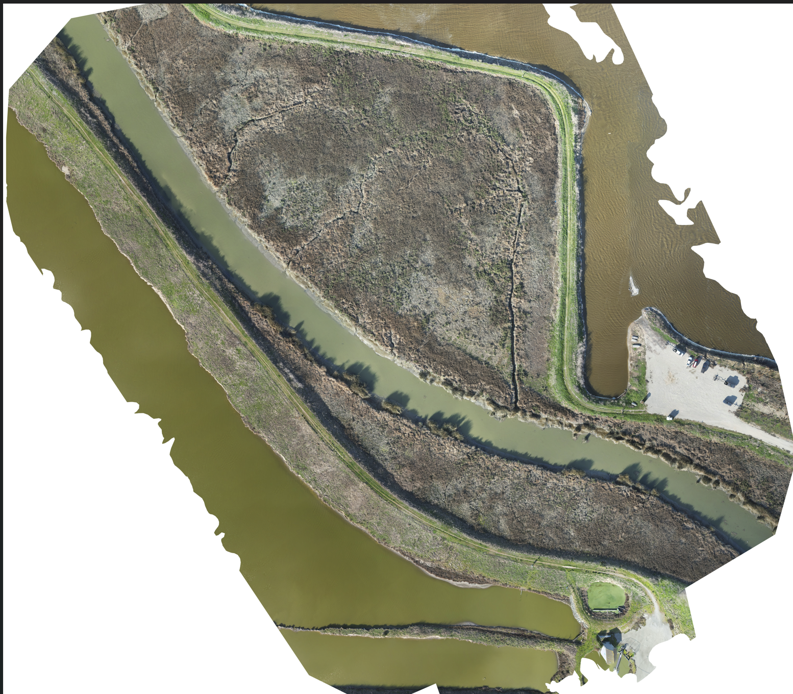
Orthomosaic Mapping
Using drones, we are creating an orthomosaic model of the Sunnyvale Baylands, Don Edwards Wildlife Refuge in San Francisco Bay Area to highlight critical environmental challenges in our community. Our goal is to provide conservationists with actionable insights, creating a scalable solution that can be replicated in similar ecosystems worldwide. We have mapped >1000 acres in SF baylands and we believe it has the potential to inspire others in the community to take action.
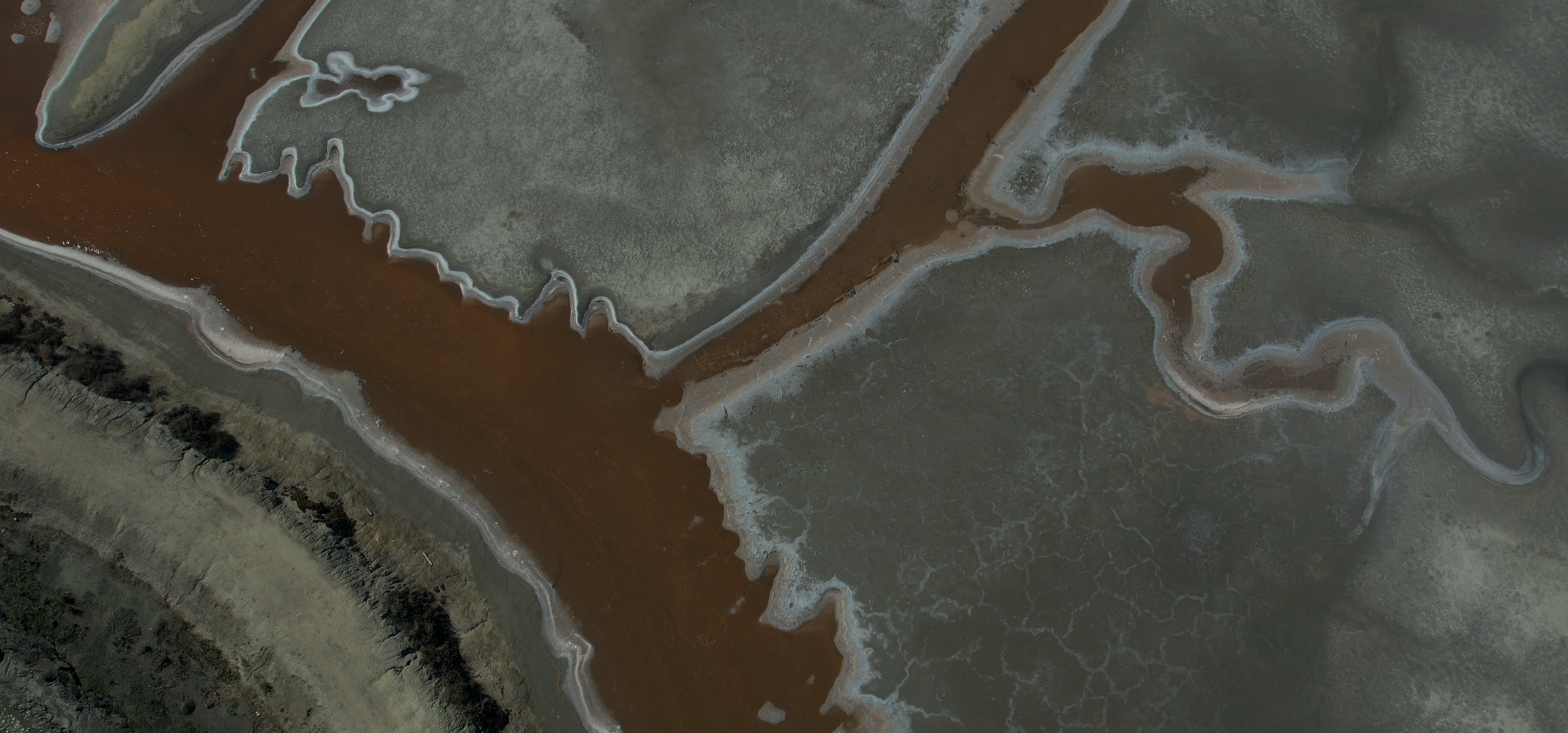
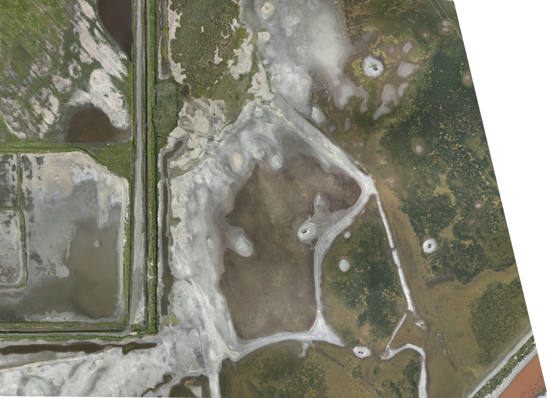
Don Edwards Wetlands Outer perimeter
Orthomosaic map of Don edwards wetlands extended perimeter showing various waterways, grasslands. Link to high resolution images & orthomosaic map.
Don Edwards Wildlife Refuge Survey Video
Survey Video Don Edwards Wildlife Refuge
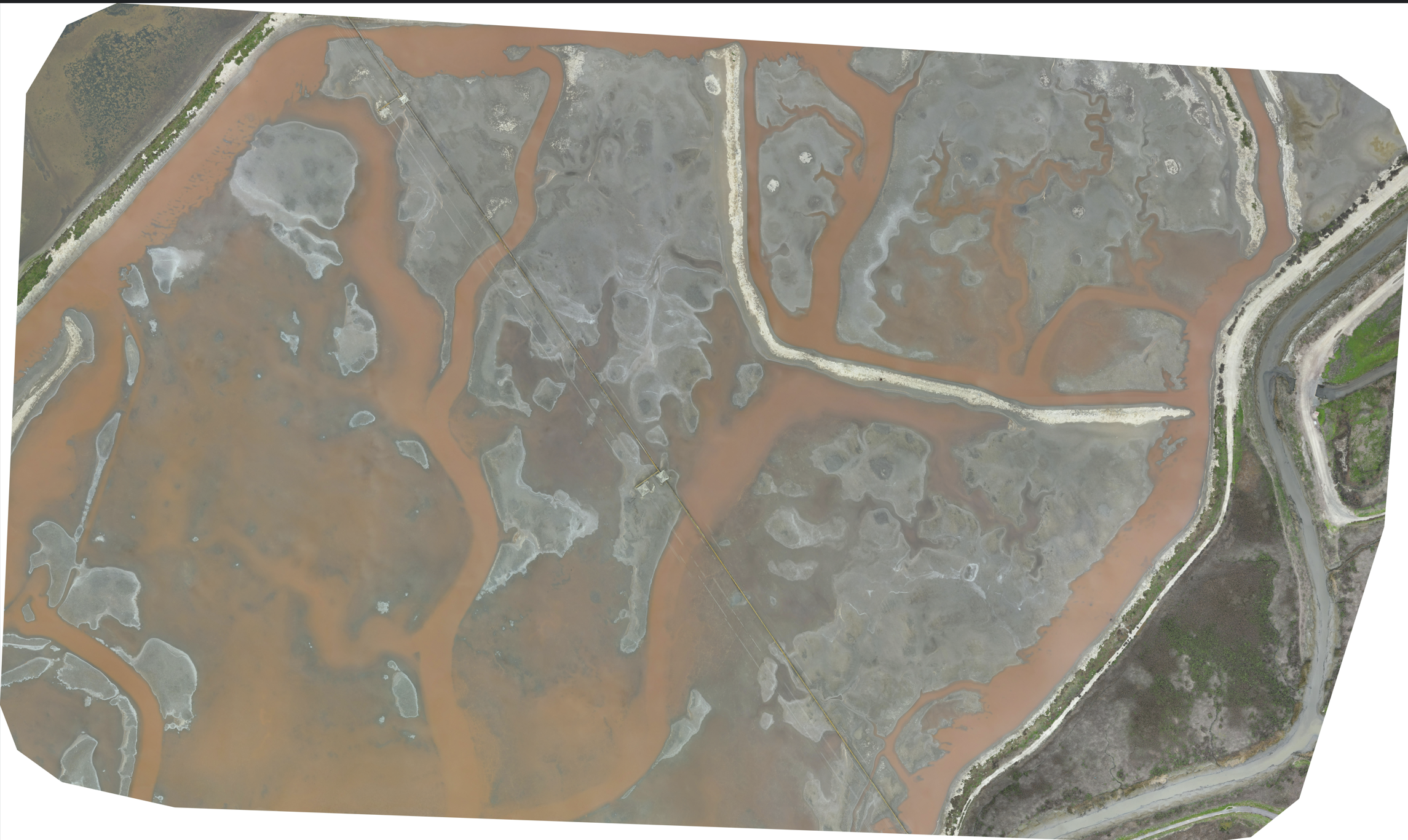
Don Edwards Wildlife Refuge -Lagoon Extended Orthomosaic map
Surveyed 100 acres of Coyote lagoon wetlands & Combined >400 high resolution images with WebODM application to generate this orthomosaic map. Link for high resolution orthomosaic & all images.
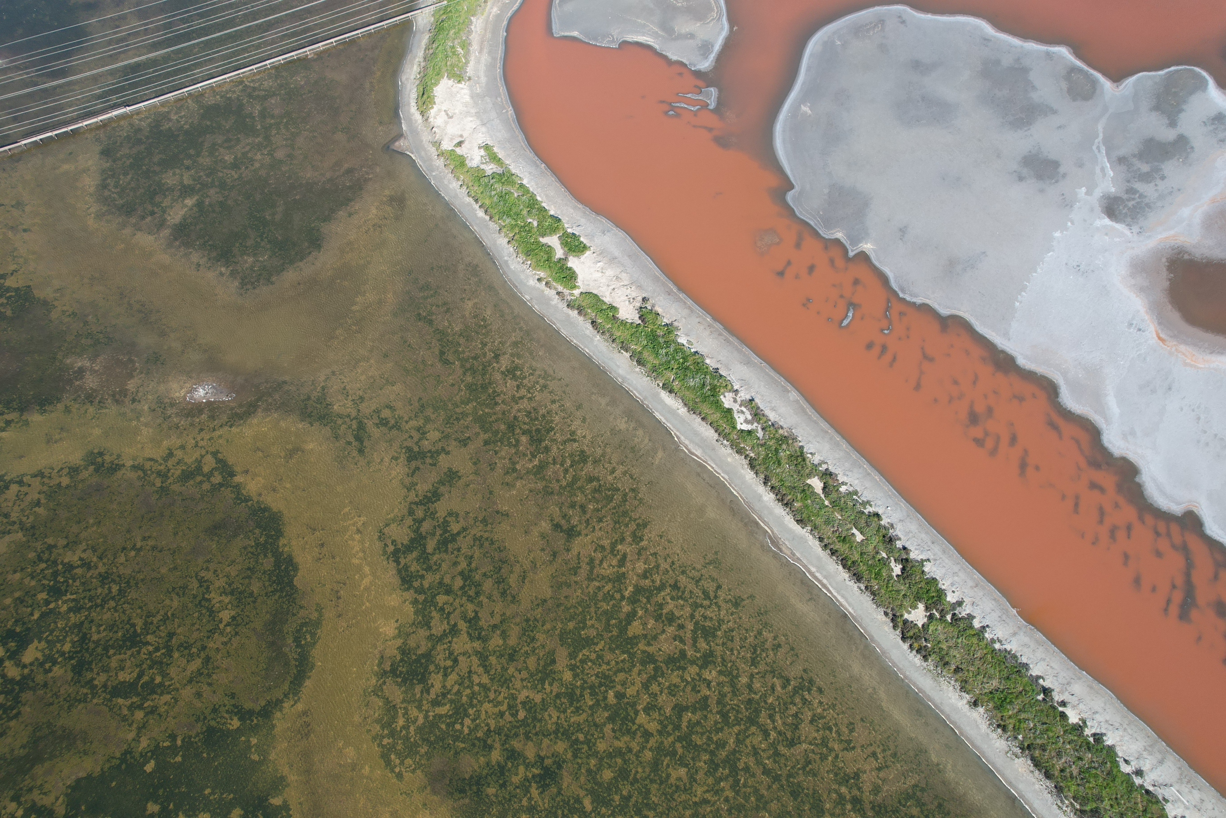
SJSU MLML Erosion Mapping Study along Monterey Bay
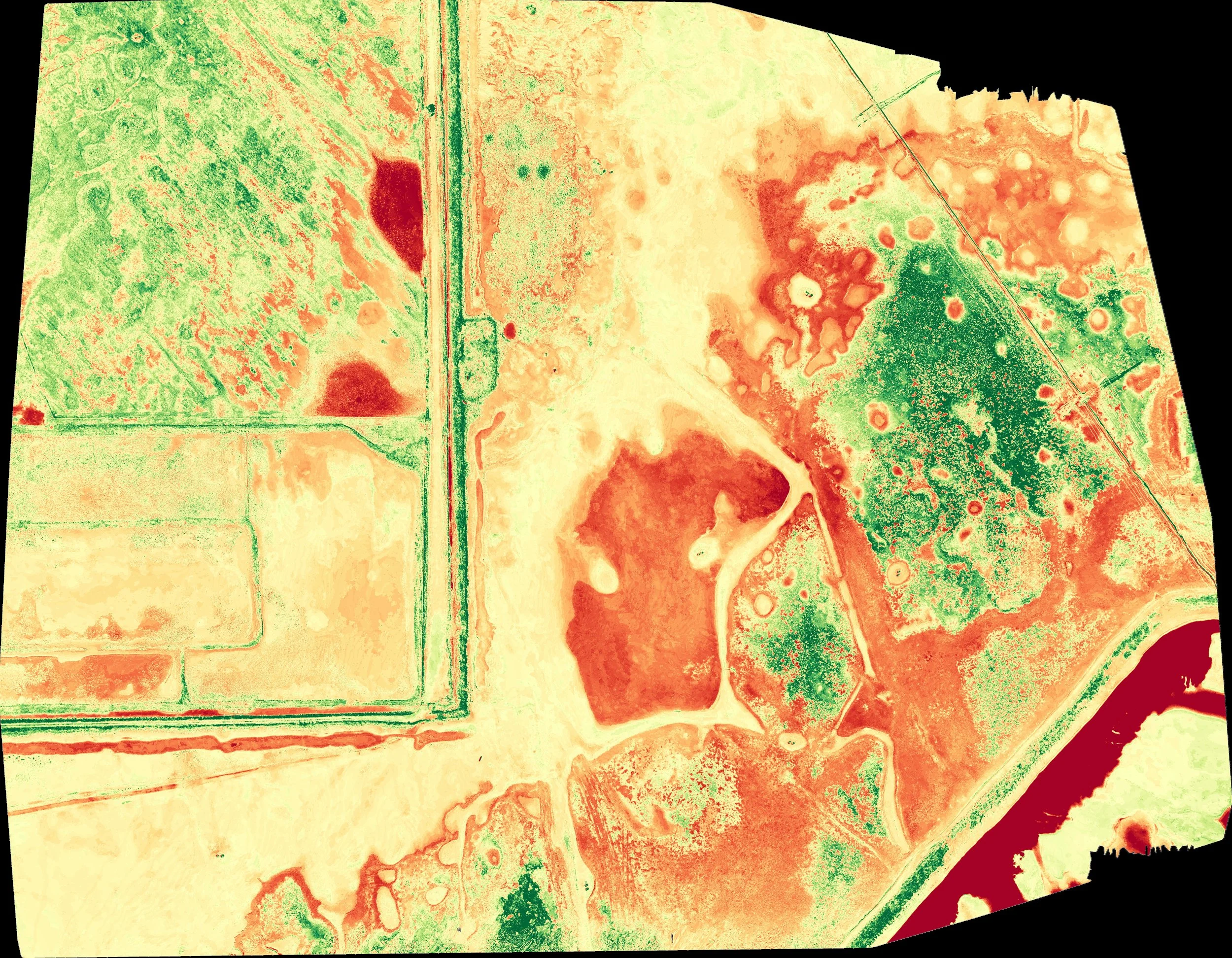
Don Edwards Refuge Vegetation Map - Visible Atmospherically Resistant Index (VARI)