Meet the Founder
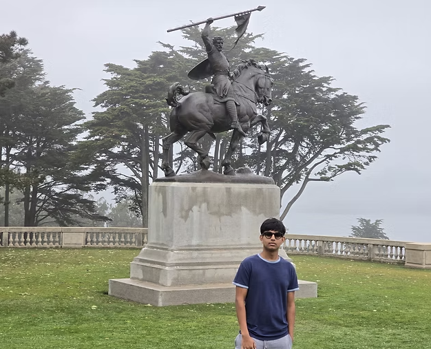
I’m Srivathsan Ramanujam, an engineering student and the founder of NorCal Conservation. My interests span environmental research, geospatial data, computing, and quantitative decision making.
I have long been passionate about conservation, sustainability, and the use of technology to understand the impacts of climate change. My interests in nature and aviation led me to develop skills in drone surveying, photogrammetry, GIS, and environmental mapping. I founded NorCal Conservation to apply these tools to wetland research and to support researchers, public agencies, and local communities with actionable environmental and geospatial data.
Through NorCal Conservation, I have mapped more than 1,000 acres of San Francisco Bay wetlands and worked to translate environmental data into information that can support conservation and climate-resilience decisions. I have presented my work to public agencies and sustainability commissions, including the Fremont Sustainability Commission and the Bay Conservation and Development Commission (BCDC). My wetland mapping and conservation work was also featured by KQED Science.
I further developed this work with researchers at SJSU Moss Landing Marine Laboratories, contributing drone mapping and geospatial analysis to NOAA-funded coastal resilience research. I also presented my research, “Degradation of Baylands Ecological Density and Flood Risk in the San Francisco Bay: A UAS-Based Study,” at the 2025 State of the San Francisco Estuary Conference.
My broader goal is to understand how engineering, environmental data, and quantitative decision making can help communities respond more effectively to climate risk.